SOLD- Next to Lobato Bridge and RIO GRANDE River! 5 acres- Antonito, CO
SOLD- Next to Lobato Bridge and RIO GRANDE River! 5 acres- Antonito, CO
$500 DOWN/$169 PER MONTH-FINANCE TERMS-INSTANT APPROVAL/NO CREDIT CHECKS
Interest Rate 0%
Loan Term: 54 months
Monthly Payment $169 (plus a monthly $25 note servicing fee and prorated yearly taxes)
Document Fee: $250
We Accept Credit Card for Down payment
OR
PAY IN FULL CASH DISCOUNT-$7,500
Purchase Price $7,500
Document Fee: $250
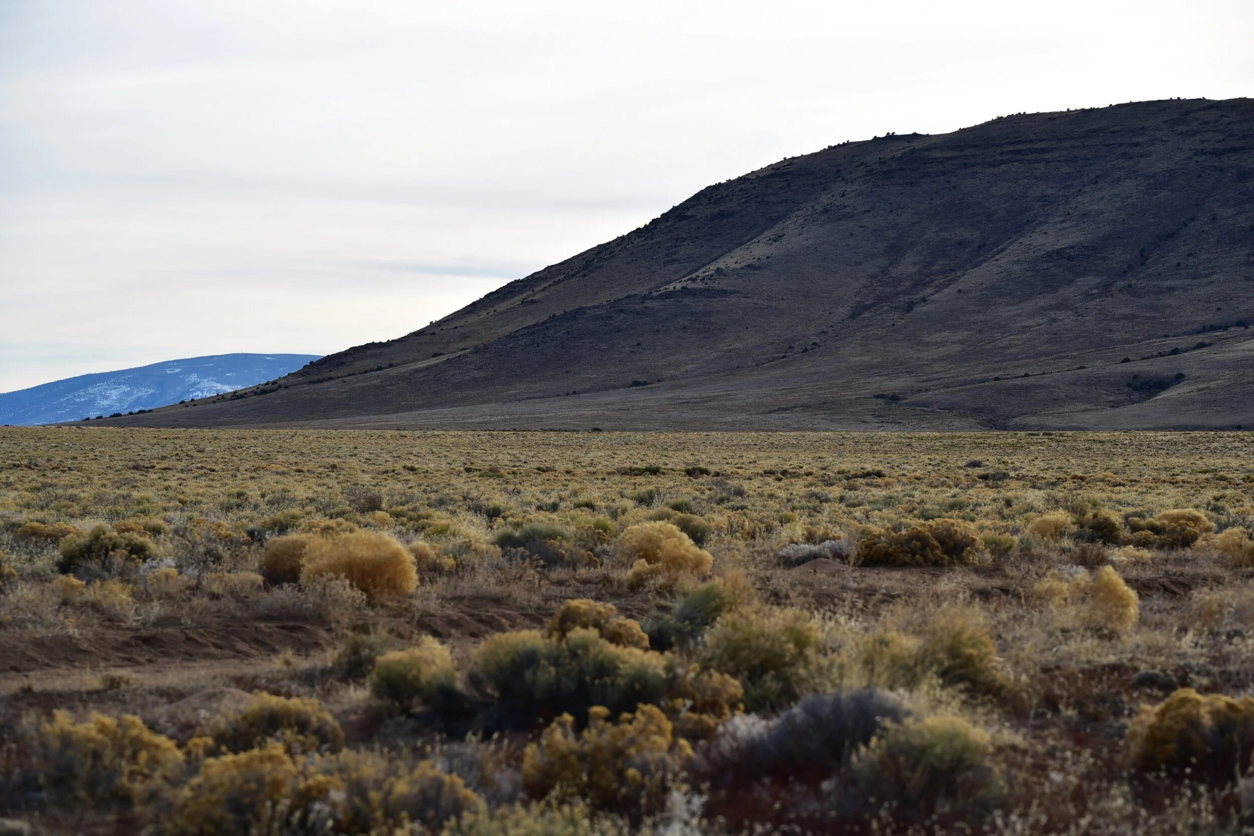
Super Close to the RIO GRANDE RIVER access put in! Just over half a mile to the river’s edge!! Gorgeous!
Unlimited BLM acreage for outdoor fun just across the river! ATV, fishing, hiking, rafting & mountain biking! Spend your time on this serene 5 ac parcel near the Colorado/New Mexico border!
Only 0.6 miles to the river’s edge and 0.9 mile from the parcel to access the river at the Lobato Bridge (in pics)! If you have down payment - we will owner finance. Pre-Approved. SKI RED RIVER 1 hour and 12 mins away- Or TAOS only 1 Hour 23 mins! NO Covenants or HOA Fees.
MILES TO:
ONLY 0.85 miles to Unlimited BLM lands, hiking, fishing and outdoor sports (just across the bridge)
ONLY 0.9 miles to Lobato Bridge - 1 min drive!
39 miles to San Luis
54 miles to Alamosa (Walmart, Hospital, Starbucks, College)
54.7 miles to Red River Ski
66.7 miles to Taos
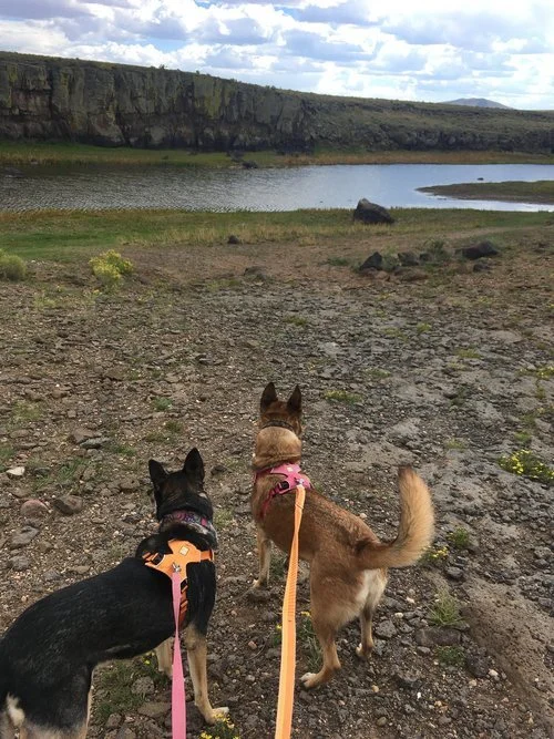
CHECK OUT THE LOBATO BRIDGE VIDEO BELOW THAT I FILMED AS I DROVE ACROSS THE BRIDGE AND MY DOGS AT THE RIVER!- JUST A SHORT DRIVE FROM PARCEL!
Best access to the river is just across Lobato Bridge and downstream. There is a 2-track road the heads south on the west side of the Lobato Bridge with 3-4 places that you can drive right to the water's edge.
LAND DETAILS
Address: TBD Bannock Trail, Antonito, CO 81120
INT#20-006
Legal Description: R.G.R. UNIT 26 BLK 0 LOT 119
Road Access: County Dirt Road
Terrain: Flat
Type: Vacant Land
Flood Zone: no digital data per FEMA
Zoning: Rural Residential
City: Antonito
State: Colorado
Zip Code: 81120
Size: 5 acres, Approx. 240’ X 940’
Yearly Taxes: Approx. $50/yr.
HOA: None
Deed Type: Warranty Deed
UTILITIES:
Off-Grid- Solar/Generator
Water - haul water/Cistern
Septic -would need septic or tank
Zoning Definition: Build or Camping allowed limited part of the year. Please contact county to confirm use or restrictions.
County Building and Zoning link: Planning & Zoning (click)
County Camping Link: Application/Rules (click)
Elevation: 7510 Feet
Zoning: Vacant/Estate ResidentialFor a site built home, you need a 600sqft minimum footprint.
Mobile homes are Allowed.
You can camp for 14 days (every 3 months)
Long term camping/rv permit is available (60 days - with up to 3
renewals, $200 fee - septic & water required),
Temporary RV Occupancy permit also available ($250 fee - good for 90
days at a time while building, renew for up to 18 months).
Zoning office is open Monday through Thursday and can be contacted at
(719) 672-9109 to answer any questions.
WANNA VISIT?
TBD Bannock Trail, Antonito, CO 81120
Approximate Corner Coordinates:
NW: 37.0699, -105.7540
NE: 37.0699, -105.7532
SE: 37.0673, -105.7532
SW: 37.0673, -105.7540
Google Map Link: https://goo.gl/maps/muiyDJnxz2hy86HJ7
PLEASE USE THE GPS COORDINATES -THE STREET SIGNS ARE NOT ALWAYS MARKED
*This information is reliable but not guaranteed. Neither thelandbox.com or it’s associates are responsible for the accuracy of this information. Customers are responsible for all necessary due diligence pertaining to a purchase.


